


9 km | 16 km-effort


User


FREE GPS app for hiking
 SityTrail
IGN / Geographical institutes
SityTrail World
The world is yours!
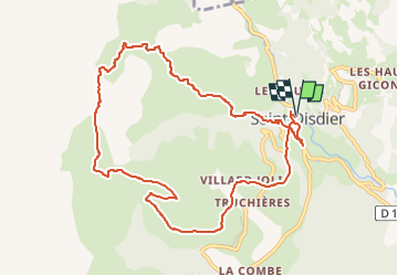
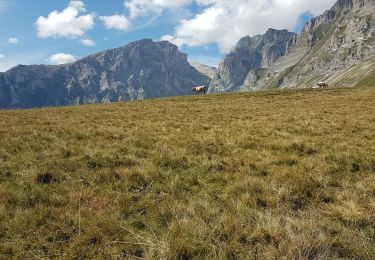
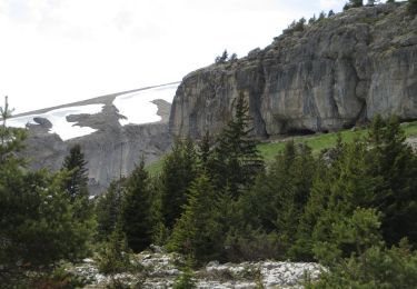
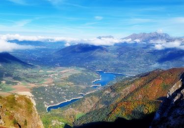
Trail Walking of 11 km to be discovered at Provence-Alpes-Côte d'Azur, Hautes-Alpes, Le Dévoluy. This trail is proposed by Marco05.
Très beau parcours dans le magnifiqque Dévoluy.
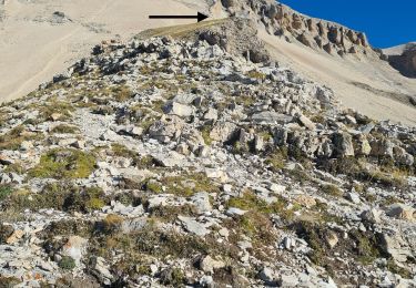
La seule difficulté est la pente à la montée.
La vue devant la cabane est à couper le soufle.
La descente est toujours bien tracée.
Pas de difficuluté technique, mais ça demande une eptite habitude de la randonnée et une bonne forme.


Walking
Walking

Walking

Walking
Walking

Walking
Walking
Walking
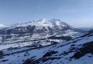
Touring skiing